


| Home > Browse Selected Topics > Shipwreck Investigations | Français | |
This archived Web page remains online for reference, research or recordkeeping purposes. This page will not be altered or updated. Web pages that are archived on the Internet are not subject to the Government of Canada Web Standards. As per the Communications Policy of the Government of Canada, you can request alternate formats of this page on the Contact Us page.
  Investigate!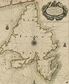 "A Chart of Ye Land of New Found Land with Ye Particular Harbours at Large by John Thornton Hydrographer," 1700 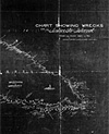 "Chart showing Wrecks on Anticosti Island from the Year 1820 to 1911 Prepared by Department of Marine and Fisheries, Quebec Agency," 1911 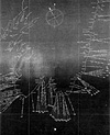 "Map Showing the Positions of 77 Wrecks along the Coast of Nfld. from Bay Bulls to St. Marys Harbour," 1901 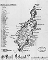 Map showing the wrecks at St. Paul Island, Nova Scotia, 1926 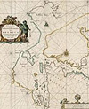 "Paskaert zijnde de Noordelijckste Zeekusten van America van Groenland door de Straet Davis en de Straet Hudson tot Terra Neuf," 1666 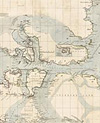 "Discoveries in the Arctic Sea between Baffin Bay, Melville Island, & Cape Bathurst," 1852 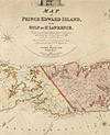 "Map of Prince Edward Island, in the Gulf of St. Lawrence, Comprising the Latest Topographical Information Afforded by the Surveyor Generals Office and Other Authentic Sources," 1859 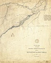 "Outline Map Showing the Water-Communications between Kingston & Montreal 1827," 1830 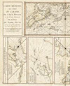 Series of maps entitled "Carte réduite des côtes de l'Acadie, de l'Isle Royale et de la partie méridionale de l'Isle de Terre-Neuve," 1746-1751 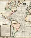 "Carte des variations de la boussole et des vents généraux que l'on trouve dans les mers les plus frequentées," 1765 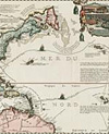 "Carte très curieuse de la mer du sud, contenant des remarques nouvelles et très utiles non seulement sur les ports et îles de cette mer, mais aussi sur les principaus pays de l'Amérique tant septentrionale que méridionale, avec les noms & la route des voyageurs par qui la découverte en a été faite," 1719 
|